The North Atlantic right whale known as Snow Cone was tangled in fishing ropes and covered in parasites when researchers spotted her off the Massachusetts coast in September 2022. Rescuers tried to approach her by boat and remove the ropes digging into her jaw. But before they could free Snow Cone, she dove.
No one has seen the whale since. Researchers hoped she would survive—defying all expectations, she’d given birth to a calf while ensnared—but most now think she drowned, exhausted after years of dragging the heavy ropes. It’s another blow to the critically endangered species, who now number just 340 individuals.
The whale’s plight embodies a depressing reality: Scientists can monitor a species’ decline in excruciating detail, but that doesn’t always translate into a better outcome for the animals. Like so many other fields, ocean conservation science is experiencing a “data explosion,” says Tara Zeynep Baris, a senior data scientist at the Norwegian nonprofit HUB Ocean. “My concern is that it’s targeted properly, and we’re not just collecting data for data’s sake.”
Anyone should be able to enter a set of GPS coordinates and pull up a wealth of information.
To make sense of the complex interplay between marine animals, their ever-changing environment, and the zillion-ton metal projectiles they must constantly dodge to survive, scientists need to share and combine datasets. Providing a single online repository for that data is the goal of HUB Ocean’s new open-source Ocean Data Platform, says Baris. Still in its infancy, it already contains data on physical ocean variables like sea surface temperature, salinity, and nutrients; animal tracking data; and the routes of tens of thousands of shipping vessels.
Jorge Rodríguez, a physicist at the Mediterranean Institute for Advanced Studies in Spain, is interested in using the Ocean Data Platform to study how the paths of whales, turtles, sharks, and many other migratory marine animals overlap with shipping lanes and other hazards. “Let’s say you’re a policymaker, and you want to design a new marine protected area,” he says. Information from the platform could help show where endangered right whales and other species are likely to collide with shipping lanes, “like traffic jams on Google Maps.”
Rodríguez plans to combine shipping routes and ocean physics from the Ocean Data Platform with animal tracking data from MegaMove, a conservation research initiative that wants to harness this kind of data to protect marine megafauna. He’ll use the data to develop computer algorithms that can automatically detect “hotspots” where migratory marine animals like whales, blue sharks, polar bears, and sea turtles are likely to intersect with ships and other hazards around the globe.
MegaMove is conceptually similar to the WhaleWatch program off the western coast of North America, which uses an automated computer program to predict where migrating blue whales are, then provides maps to shipping vessels so they can slow down or change direction. Building that program required a huge amount of data, including a decade of whale movement and environmental factors including water temperature, chlorophyll concentrations, and wind speed, says Elliott Hazen, a research ecologist at NOAA’s Southwest Fisheries Science Center who developed the program. It would have been far easier to pull all that data from a single place, like the Ocean Data Platform, he says. Instead, he and his team painstakingly gathered the data from many scattered locations and mutually unintelligible formats.
HUB Ocean appears to have the necessary computing and financial resources to create a cloud-based platform for ocean conservation data that can be used almost anywhere, even on shaky Wi-Fi, says Hazen. That could make the data more accessible to scientists working in countries with patchy internet access, or at sea on a research vessel. If the Ocean Data Platform is billed as an authoritative source of information, however, the people running it will need to keep it up-to-date or risk eroding public trust in science, Hazen cautions.
Scientists can monitor a species’ decline in excruciating detail, but that doesn’t always translate into a better outcome.
Some aspects of the platform—including how to handle quality control—are still being worked out, says Baris. At first, the group plans to include only datasets they’ve obtained from government agencies and reputable scientific organizations like the World Wildlife Foundation. Later, they’ll accept data from the wider research community; at that point users may need to participate in assessing and correcting it. One option is to categorize data by how well it’s been vetted. “You could say this is authoritative, and this is not, and just be transparent about it,” she says.
Eventually, anyone interested in the ocean—say, an engineer looking to site an offshore wind farm, or perhaps a conservationist concerned about the proposed location—should be able to enter a set of GPS coordinates into the Ocean Data Platform and pull up a wealth of information about the animals and other organisms who live in that location. Investors in shipping companies, or in the goods carried on those ships, could potentially use the platform to see if their vessels are following animal-protecting speed limits and shipping lane boundaries. HUB Ocean’s in-house team already found that many commercial vessels plow right through a protected area off the coast of Denmark.
Some companies fear the kind of scrutiny that projects like the Ocean Data Platform could bring, and turn off their location-transmitting systems when they don’t want to be tracked. But a few companies have embraced the possibility that slight variations from their normal routes, costing them little money and minimal extra time, can do a great deal of good.
An example of what that can look like involves the Mediterranean Shipping Company, which in 2022 adjusted its shipping routes to avoid striking endangered blue whales off the coast of Sri Lanka. Just a 15-mile change in course is expected to reduce whale strikes by 95 percent. While the company did not use the Ocean Data Platform to make the change, it suggests what the repository—which currently contains global commercial shipping route information plus World Wildlife Foundation-collected tracking data for blue, pygmy blue, humpback, and fin whales, with dozens more species expected—could be used to do anywhere.
For her own part, Baris looks forward to when scientists can use the Ocean Data Platform to propel new research or avoid duplication. Researchers might find that the sea temperature data records they planned to compile exist already—and instead build on that to study low-oxygen zones in the same area. Conservationists interested in protecting a particular marine species might find that the data they need is already there.
These moments of clarity won’t necessarily make headlines or the pages of a scientific journal, but they should help scientists and conservationists focus their work. “The goal is to figure out what data we really need to be gathering,” Baris says, “instead of just throwing sensors out there for the sake of saying we’re ‘monitoring the ocean.’ ” 
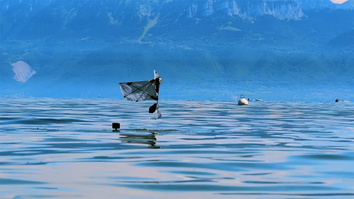
Lead image: Kristian Authen / HUB Ocean