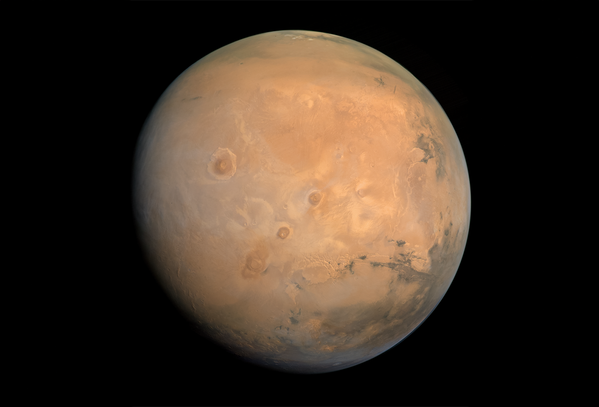
Xanthe Terra, Elysium Planitia, Vastitas Borealis. These are not names from early science fiction or from the brains of ecstatic romantic poets. Each are real places on a globe, cycling through the Milky Way with us, a mere 153 million miles away.
A new full-globe map of Mars reveals these and other strange lands with comprehensive nuance. The picture was captured and refined from more than 3,000 images taken by the Hope Probe (an orbiter operated by the United Arab Emirates Space Agency as part of the Emirates Mars Mission). The familiar-yet-foreign portrait of our neighboring planet presents a novel way of looking at its expansive geography and topography, which we are used to seeing either through rover-eye-view photos from the surface or quick snapshots from flybys.
Though full Martian maps have been assembled in the past, this recent effort, from New York University Abu Dhabi and the Center for Space Science, brings an unprecedented precision to the endeavor, with an antiquarian aesthetic that fits the classical and fantastical taxonomy we’ve given to our nearby sphere.
Take in the full resolution of the map here. 
Lead image: Center for Space Science/N.Y.U.A.D