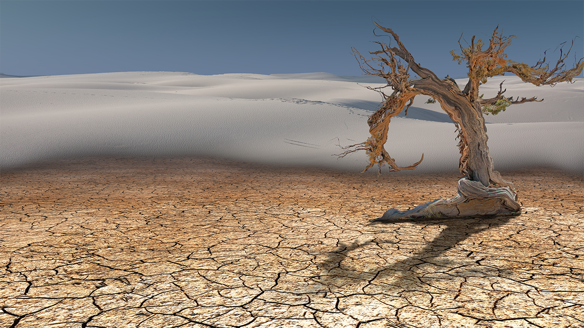
Picture a field of wheat under a cloudless vault, golden stalks rippling against dry gusts. As the mercury of a nearby thermometer climbs tick after tick, the air sucks up what little moisture still skulks in the soil and the plants, leaving them bone dry.
If this state of affairs is sufficiently extreme and persists for three days, it may qualify as a “thirstwave.” Two hydrologists, Meetpal Kukal and Mike Hobbins, from the University of Idaho and University of Colorado respectively, recently coined the term, which is meant to provide a more useful gauge of how extreme changes in climate impact agriculture. The scientists defined the new terminology in a paper in Earth's Future, which also includes an analysis of where and with what frequency these thirstwaves have happened around the United States over a period of 40 years.
“I've always missed having a metric that's tailored to agricultural water resources when it comes to extreme climate events,” says Kukal, “which is what thirstwaves are.”
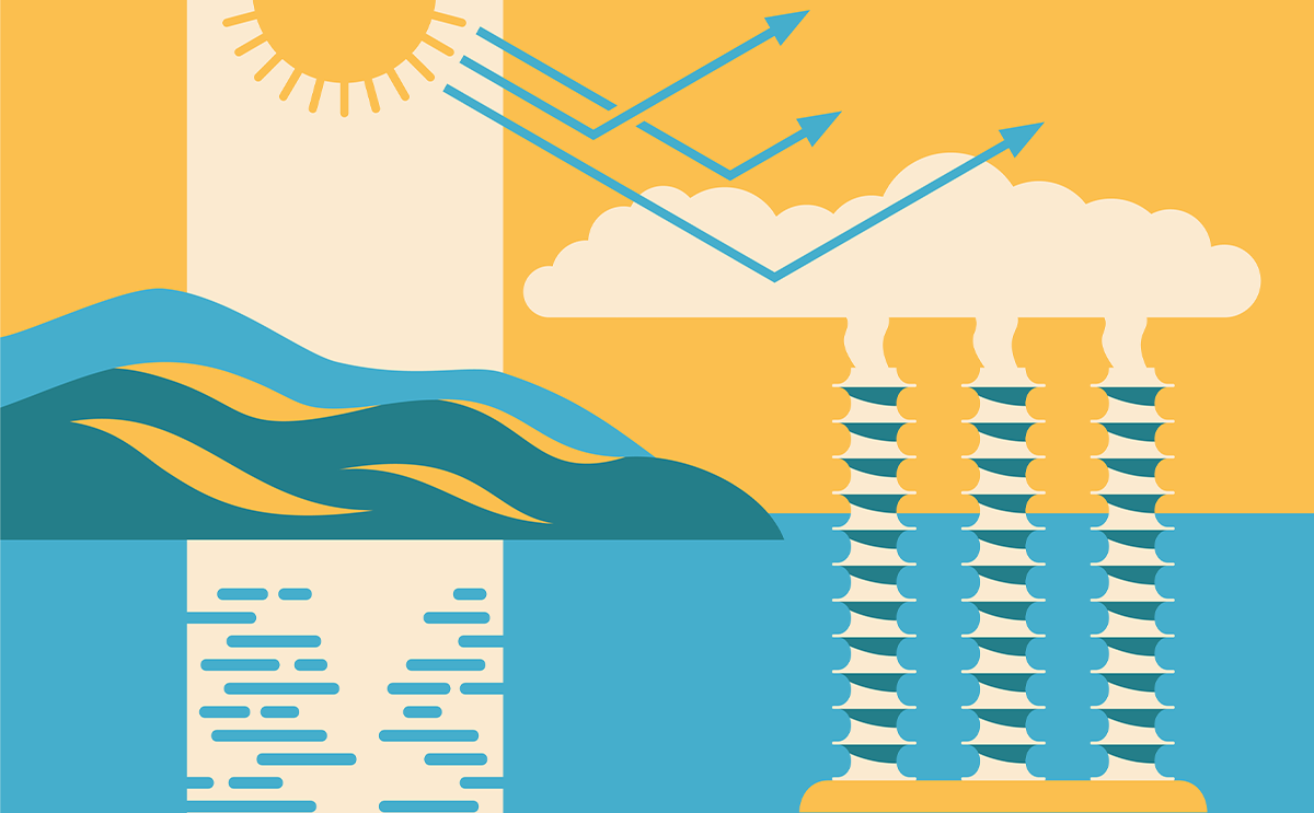
Traditionally, heatwave and drought are the focus of study when it comes to dry climate extremes. But “heatwave” only captures temperature, Kukal says, while drought refers to specific lack of rainfall. Thirstwaves, by contrast, measure extremes in evaporative demand—also known as atmospheric thirst—the maximum amount of water that the atmosphere can absorb from the planet’s surface, which is determined by not just temperature but also wind speed, sun exposure, and relative humidity.
The duration and intensity of thirstwaves increased across around one fifth of the nation’s cropland.
Evaporative demand has been increasing over the past 40 years, and high levels of it can place a significant and sometimes deadly amount of stress on plants. High evaporative demand also greatly increases the amount of water needed to irrigate crops, as well as the amount of land likely to burn during a wildfire. According to the new definition, a thirstwave occurs when, for three consecutive days, evaporative demand exceeds the 90th percentile of historic data for a particular location at a particular time of the year. This is similar to the way meteorologists define heatwaves—except the measure in that case is of course temperature.
Since Kukal and Hobbins are the first to describe a thirstwave, piggy backing on an accepted definition for a related extreme event “was a sound way to do that,” says Dan McEvoy, a climatologist who studies droughts and evaporative demand at the Desert Research Institute. “They were able to pull from existing literature on heatwaves and use that same framework for thirstwaves,” says McEvoy. “I was pretty excited to see this paper come out. And I think there could be some great potential applications of this going forward.”
To determine where thirstwaves are occurring, Kukal and Hobbins leveraged a nationwide dataset called gridMET, which has tracked all four variables necessary to calculate evaporative demand over the past four decades and is updated daily.
Studying these extremes with a specific lens to how they afflict agricultural lands across the U.S., the researchers found that the duration and intensity of thirstwaves increased across around one fifth of the nation’s cropland from 1981 to 2021, while frequency has risen on about 7 percent of cropland. As these severity markers have worsened, the likelihood that a particular farming community could get through an entire growing season without a thirstwave has also dropped sharply.
The vast majority of the most severe thirstwaves occurring on U.S. agricultural land have occurred since 2000, and particularly after 2010. And most of the most dramatic changes in thirstwave frequency and severity are occurring in agriculturally important areas, the Heartland, the Northern Great Plains, and Prairie Gateway. (Regions that have historically not suffered from severe thirstwaves—such as the Southwest, the Northern Rockies and the Northern Plains—also now face a significantly higher threat of experiencing one.)
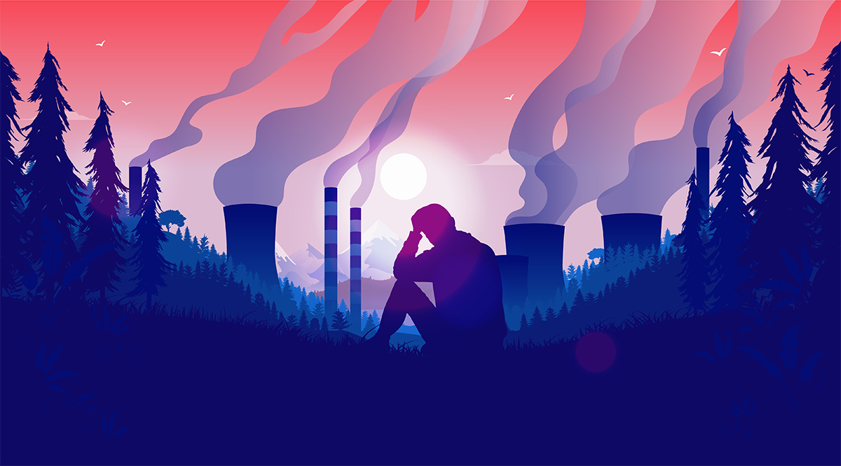
Both Kukal and McEvoy say rolling thirstwave alerts into weather forecasts could help farmers to protect their crops, resource managers to safeguard water supplies, and wildfire managers to prepare for increased fire risk. Without this awareness, the people who steward some of the nation’s most vital resources may be ill-equipped to respond to a growing, but poorly publicized, threat that’s parching the earth with an insatiable thirst. 
Lead image: Bits And Splits / Shutterstock